S1 InSAR Coherence |
|
| Project References | |
| Acronym | S1LandStudy_LCVM |
| Full title | S1 InSAR Coherence |
| Cost | 250 K € |
| Action line | |
| Missions | Sentinel 1 |
| Project Description | |
| Objectives |
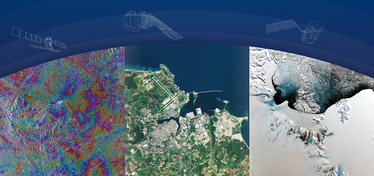
Developing, implementing and validating methods for mapping land-cover and vegetation (forests, agricultural land) using multitemporal S-1 data, with emphasis on the study and exploitation of the information content in the multitemporal InSAR coherence time-series |
| Abstract |
SINCOHMAP is an ESA SEOM project with the objective of developing, analysing and validating novel methodologies for land cover & vegetation mapping using Sentinel-1 Interferometric Coherence Evolution. One of the main objectives of the project is to quantify the impact in using S-1 InSAR (Interferometric Synthetic Aperture Radar) data relative to traditional land cover and vegetation mapping using optical data (especially Sentinel-2, hereafter named S-2) or SAR-based (Synthetic Aperture Radar) approaches. In consequence, the project is designed to clearly state this point. Expected outcomes
|
| Website | http://sincohmap.org/ |
| Results | |
| Project Consortium | |
| Prime Contractor | DARES Technology (ES) |
| Subcontractors | Universitat Politecnica de Calalunya (ES), Universidad de Alicante (ES), EURAC Research (IT), IGiK (PL) and Université de Rennes (FR) |
| Project Manager | |
| Technical Officer | M Engdahl Email: marcus.engdahl@esa.int |

