Land Cover Change Detection |
|
| Project References | |
| Acronym | COMMONS |
| Full title | Land Cover Change Detection and Monitoring Methodologies Based on the Combined Use of Sentinel-1 and Sentinel-2 for Natural Resources and Hazard Management. |
| Cost | 250 K € |
| Action line | R&D Studies for Advanced Methods |
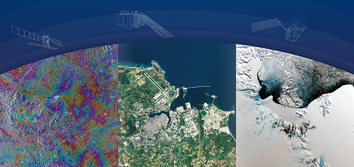
| Missions | Sentinel 1, Sentinel 2 |
| Project Description | |
| Objectives | The main objective of this R&D activity is to develop and validate novel methodologies for Land EO products based on the joint exploitation of Sentinel-1A SAR data and Sentinel-2A optical imagery. The outcome of the activity is intended to be the prototype implementation of a new change detection methodology for land cover and agricultural monitoring along with the supporting documentation, database and products. |
| Abstract |
A framework for the semi-automatic and probabilistic mapping of land cover changes is proposed within this project. Methodologies will be tuned to track changes due to: natural hazards such as landslides and floods; changes in land cover that influence natural hazard occurrence, like snow cover changes and forest changes; and finally, changes in agriculture. The framework consists of: (i) a multi-sensor training library of change signatures trapped by the Sentinels in a set-up phase and caused by landslides, floods, snow cover, deforestation and agricultural operations, and (ii) a probabilistic classifier which combines image analysis and temporal and/or susceptibility models to recognize, identify, and map changes. The first mandatory step is to prepare a library of spectral changes (i.e. the signatures) due to events occurring between two consecutive Sentinel images of the same type (optical or/and SAR). This step involves the extraction of spectral changes over time using bi-temporal change detection methods like image differencing, spectral angle, independent or principal component analysis as well as time series analysis approaches like the Continuous Change Detection and Classification (CCDC) to map changes using Sentinel-2 data and backscattering coefficient changes for Sentinel-1 data, taking into account the Dual Pol channels and coherence maps. Together with the statistics of the main changes, contextual information will be considered such as the distribution of changes in different geo-environmental contexts. Specific changes associated with landslides, floods, snow, forests, and agriculture will be recognised, mapped and the relative signatures will be extracted. The second phase is devoted to the probabilistic semi-automatic recognition and mapping of a new change, i.e. a new landslide or forest change. The algorithm recognizes changes between a new image and the previous one, it queries the library looking for similar signatures (similar changes that occurred in the past in similar geo-environmental conditions), and if found, it will use the signature as a training area to assign the probabilistic class membership of each pixel in the new image. The probabilistic class membership can be coupled to other probabilistic susceptibility models, if available, to condition or to weigh the classification. The procedure can run separately for S1 and S2 and two distinct maps are obtained. In the case that S1 and S2 images are available simultaneously (or with a non-significant delay) for the same specific event, combined S1-S2 signatures can be adopted to solve possible ambiguities present in the single signatures in assigning the probabilistic class membership. The expected final result is a methodology for automatic recognition and mapping of changes coded in the library. The mapping is probabilistic: for each pixel inside the satellite image, a probability of change is assigned. |
| Website | http://www.seom-commonsproject.net/ |
| Project Consortium | |
| Prime Contractor | CLS/Altamira (FR) |
| Subcontractors |
EURAC (IT), IRPI-CNR (IT) |
| Project Manager | Pablo Blanco Email: info@seom-commonsproject.net |
| Technical Officer | Malcolm Davidson Email: Malcolm.davidson@esa.int |
![]()
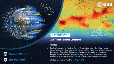
ATMOS 2018

MUAS 18
Φ-week 2018
LTC 18
CTC 18

SeaSAR 2018
MWBS 2018
EO Science for Society 2018

EO OPEN SCIENCE
Ocean Training Course 2017
Land Training Course 2017
EO Science for Society
FRINGE 2017
Polinsar 2017
Polarimetry Course 2017
ESA EO summer school

EO OPEN SCIENCE 2016
LPS 2016

Augmented Reality App

Wathc EO Open Science 2.0 videos