S2 for Land and Water, Coastal and Inland Waters Theme |
|
| Project References | |
| Acronym | CORESIM |
| Full title | S2 for Land and Water, Coastal and Inland Waters Theme |
| Cost | 250 k € |
| Action line | R&D Studies for Advanced Methods |
| Missions | Sentinel 2 |
| Project Description | |
| Objectives | This project aims at developing and validating inland water circulation models coupled with remote sensing data to better understand the processes involved in these water bodies. It will investigate the potential of the S-2 radiometric data products to constrain hydrodynamic and ecological models of at least three water body types covering as wide a range as possible of eutrophic levels and ecological niches. |
| Abstract |
Inland waters are increasingly facing external pressures. Their adaptation and changes have to be understood and monitored efficiently to provide valuable recommendations to decision makers. Over the last decades, different research communities have focused on this problem using different approaches and information sources. The current challenge is to couple those sources, consisting of in situ measurements, remote sensing data, and data generated by three-dimensional hydrodynamic and water quality models. The goal is thereby to provide timely, scientifically credible, and policy-relevant environmental information, in order to assist stakeholders in evidence-based decision-making and sustainable management. The coupling approach envisaged in the project implies mutual feedback mechanisms between these three information sources. Model simulations are improved through the assimilation of in situ measurements and remotely sensed products. Remote sensing image processing is improved through parameterization with in situ measurements and predictions by hydrodynamic and biological models. Moreover, in situ measurements provide for an absolute system calibration standard, which achieves a better representativeness when carried out along instantaneous gradients known from remotely sensed products and model simulations. The coupling approach is validated with at least three different lakes of different size, trophic status and watershed properties. For each lake, particular attention is given to biophysical processes calling for high spatio-temporal resolution that distinguishes Sentinel-2 from other Earth observation satellites. This unprecedented spatial resolution requires dedicated high resolution process-oriented field campaigns that will allow to quantitatively estimate the benefit of the coupling approach compared to the traditional modelling scheme. Besides the high horizontal resolution, a second key coupling focus is on the effect of the vertical structure of inland water bodies. The selection of suitable inherent optical properties and the assumption of a vertically homogeneous euphotic layer traditionally causes large uncertainties in remotely-sensed water quality products, unless effectively constrained by additional complementary information. Similarly, changes in light penetration depth associated with matters and vertical density stratification typically induce large uncertainties in the heat absorption and drastically affect results predicted by coupled hydrodynamic and water quality models. The energy transfer from the atmosphere to the lake will be constrained by spatial and temporal data assimilation of lake surface temperature from medium-resolution thermal remote sensing products and light penetration from high-resolution Sentinel-2 products. Once correctly forced, output of the hydrodynamic and water quality models, such as CHL, will also be constrained through data assimilation with Sentinel-2 products and in situ observations. This multistep control of the models is a cornerstone in the development of operational water quality information systems. The development and implementation of the approach will be conducted by an interdisciplinary team of scientists with demonstrated experience in the field of system analysis by means of in situ measurements, remote sensing and modelling. Dissemination of software and instructions on how to effectively use this software at the project end will enable the adaptation of the approach for a larger, more diverse, number of water bodies. |
| Website | meteolakes.epfl.ch |
| Project Consortium | |
| Prime Contractor | Ecole Polytechnique de Lausanne (CH) |
| Subcontractors |
Odermatt-&-Brockmann (CH), INRA (FR) |
| Project Manager | Name: Damien Bouffard Email: Damien.Bouffard@epfl.ch |
| Technical Officer | S Delwart Email: steven.delwart@esa.int |
![]()
ATMOS 2018

MUAS 18
Φ-week 2018

LTC 18
CTC 18

SeaSAR 2018
MWBS 2018
EO Science for Society 2018

EO OPEN SCIENCE
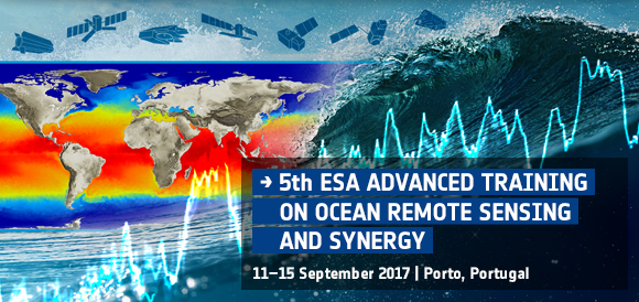
Ocean Training Course 2017
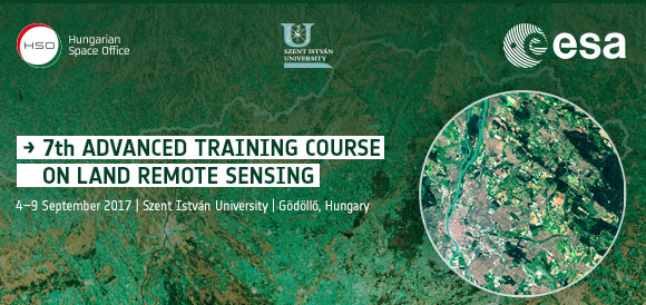
Land Training Course 2017
EO Science for Society

FRINGE 2017
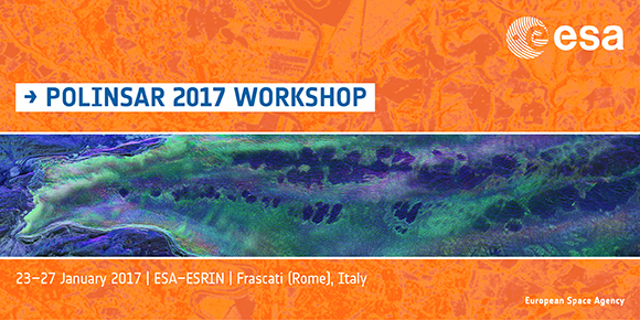
Polinsar 2017
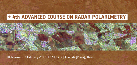
Polarimetry Course 2017

ESA EO summer school

EO OPEN SCIENCE 2016
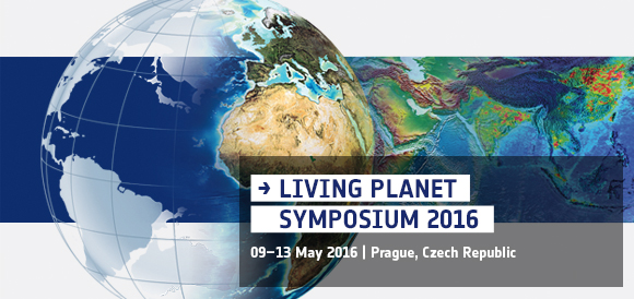
LPS 2016

Augmented Reality App
Wathc EO Open Science 2.0 videos